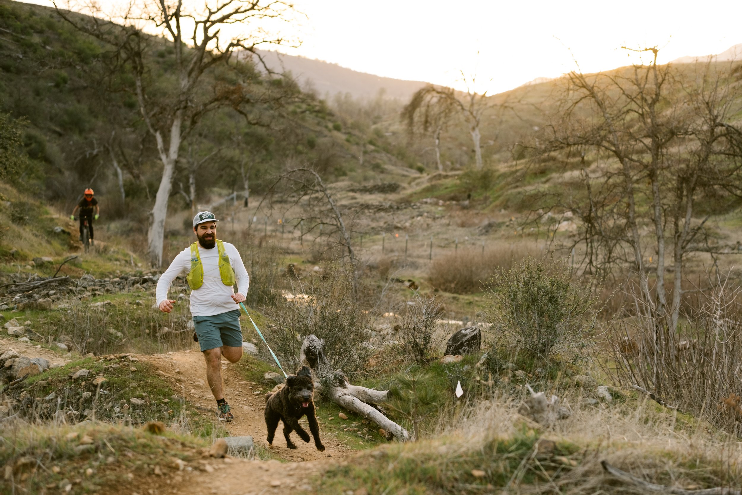
DOG CHALLENGE
Our dog routes include some of the most epic trails in our region, set in amazing natural landscapes with awesome views. Note that several routes are identical to our Trail and MTB Adventure routes; check the box for both of you as you complete them, and look for opportunities to combine with a Family Adventure, too.
The Dog Challenge is sponsored by a local non-profit,Tails of Rescue in Kahoots. They are an Anderson-based non-profit organization dedicated to dog rescue, operated entirely by volunteers, and allowing ALL proceeds from the pet store component to be directed toward operational and veterinary costs necessary for rescuing dogs from shelters. The retail store component is located in Anderson at 2644 North Street, Anderson, CA, and offers a wide range of pet supplies at reasonable prices; again, all proceeds go towards dogs in need. For those who participated last year, you will recall the amazing treat bag that your dog earned.
This year, the same treat bags can be picked up in Anderson at their store again by bringing your completed passport, OR at the end of the challenge party (see events for date and time). Pro Tip: Schedule your last dog adventure on the Kum Bay Xerel Route (super cool in a lot of ways), then head over to Tails of Rescue in Kahoots for the treat bag and event sticker.

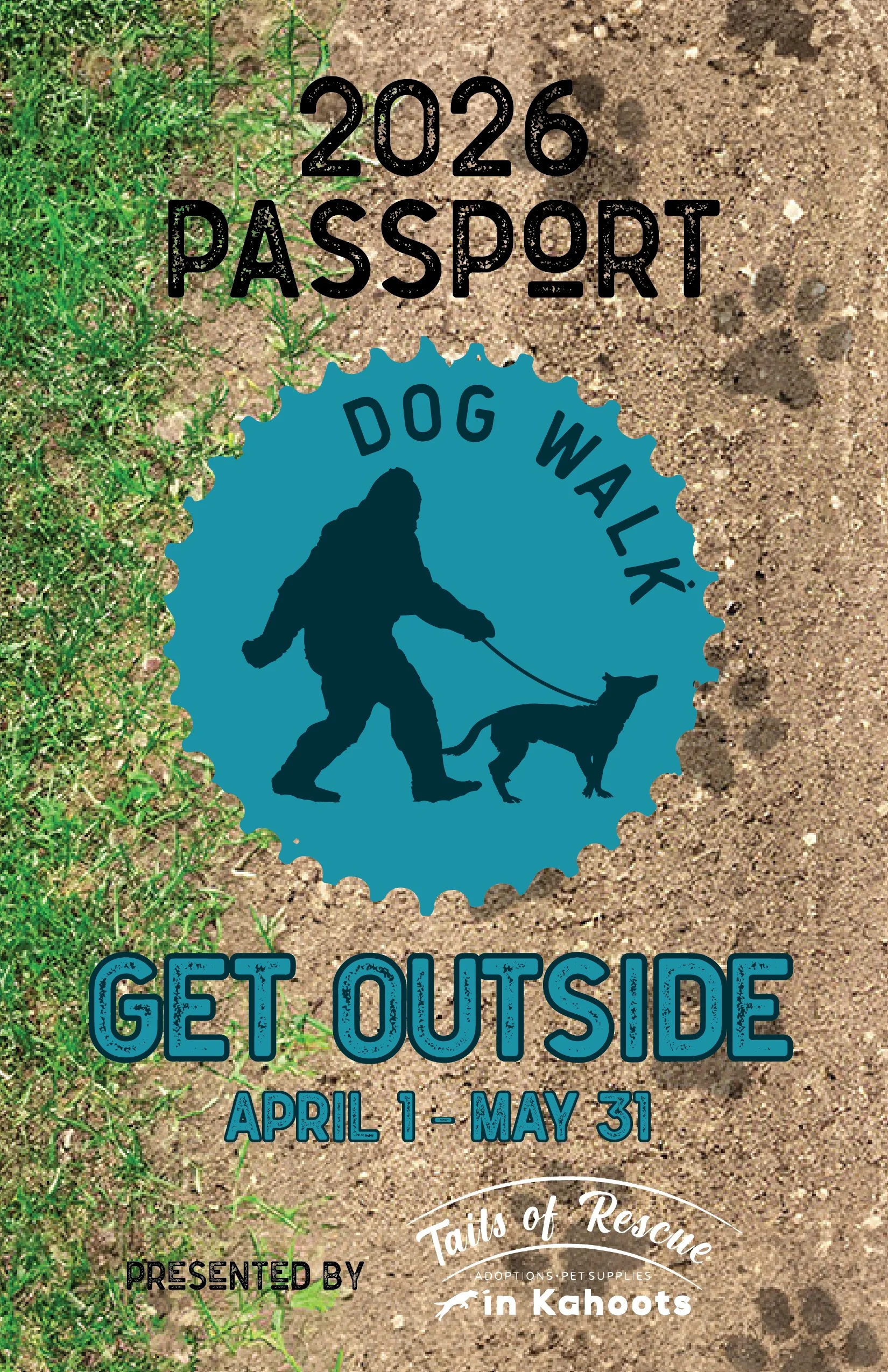
DOG CHALLENGE PASSPORT
KNOW BEFORE YOU GO
Bigfoot has organized the routes from easiest to hardest. This is Bigfoot’s rating based on distance, elevation, and terrain, and will likely be at least somewhat different than your own rating, noting Bigfoot’s experiences are different than yours. Again, the challenge is to complete ANY three routes on this page and earn your socks or complete them all and earn socks and a hat.
This year, we are not providing a link to a PDF Map. However, we have supplemented Traiforks and Strava's individual route descriptions with turn-by-turn navigation and the application's maps to help you navigate the route. Look to the instructions page for more information and suggestions for printing and/or creating your own PDF.
Bigfoot has also marked routes that are ready to ride with a green ✅ and those that aren’t ready with a red ❌.
| TRAIL | READY TO RUN? | TRAILFORKS | STRAVA | GOOGLE MAPS |
|---|---|---|---|---|
|
Nur Pon 1.5 mi & 20 ft |
|
Trailforks Route | Strava Route | Trailhead |
|
Kum Bay Xerel 1.5 mi & 22 ft |
|
Trailforks Route | Strava Route | Trailhead |
|
Canyon Hollow 3.9 mi & 550 ft |
|
Trailforks Route | Strava Route | Trailhead |
|
East Weaver Creek 4 mi & 500 ft |
|
Trailforks Route | Strava Route | Trailhead |
|
Horsetown Piety 3.3 mi & 500 ft |
|
Trailforks Route | Strava Route | Trailhead |
|
Brandy Creek Falls 4.2 mi & 950 ft |
|
Trailforks Route | Strava Route | Trailhead |